
Agriculture is undergoing its most significant transformation since the Green Revolution of the mid-20th century. This time, the driving forces are not new crop varieties or chemical fertilizers but rather artificial intelligence, robotics, satellite imagery, and data analytics. The convergence of these technologies is creating what many call Agriculture 4.0, a data-driven approach to farming that promises to feed a growing world population while using fewer resources and reducing environmental impact.
Key Takeaways
- Precision Agriculture: Farming by the Square Meter
- AI-Powered Crop Monitoring and Disease Detection
- Autonomous Farming Equipment
- Satellite and Drone Technology
The scale of the challenge is immense. The United Nations projects that the global population will reach nearly 10 billion by 2050, requiring an estimated 60 percent increase in food production. Meanwhile, arable land is shrinking, water resources are under stress, and climate change is making growing conditions increasingly unpredictable. Technology is not just an upgrade for modern farming; it is becoming a necessity for survival.
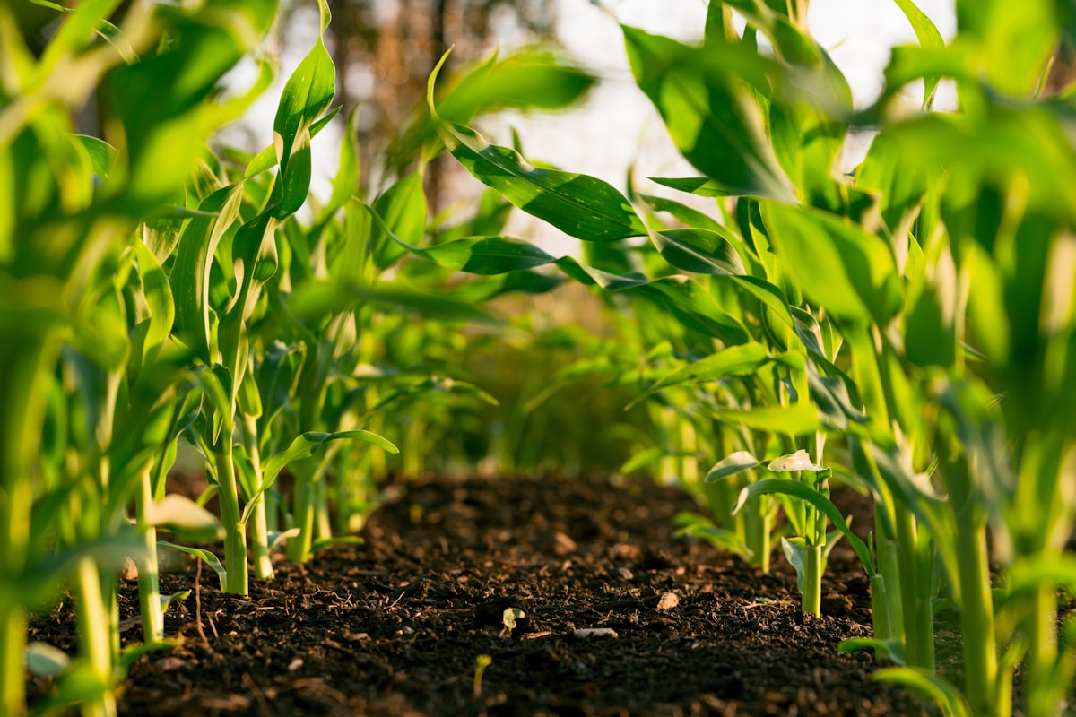
Precision Agriculture: Farming by the Square Meter
Traditional farming treats entire fields uniformly: the same amount of water, fertilizer, and pesticide applied everywhere. Precision agriculture flips this approach by managing variability within fields at an extremely granular level. Using GPS-guided equipment, soil sensors, and satellite data, farmers can apply inputs exactly where and when they are needed.
The results are remarkable. Studies consistently show that precision agriculture can reduce fertilizer use by 15 to 30 percent, cut water consumption by 20 to 40 percent, and increase yields by 10 to 20 percent compared to conventional methods. These are not marginal improvements; they represent a fundamental shift in the economics and environmental footprint of farming.
Variable Rate Technology
Variable rate technology (VRT) is one of the most widely adopted precision agriculture tools. GPS-equipped tractors and sprayers adjust their application rates automatically as they move across a field, based on detailed soil maps and crop data. Areas with nutrient-poor soil receive more fertilizer while areas with adequate nutrients receive less. The same principle applies to seeding rates, irrigation, and pesticide application.
Modern VRT systems integrate data from multiple sources: soil samples, yield maps from previous harvests, satellite imagery, and real-time sensor data. Machine learning algorithms process this information to generate optimized prescription maps that guide equipment in the field. The farmer''s role shifts from manual labor to data-informed decision-making.
AI-Powered Crop Monitoring and Disease Detection
One of the most impactful applications of artificial intelligence in agriculture is early detection of crop diseases, pest infestations, and nutrient deficiencies. Traditional scouting relies on farmers or agronomists physically walking fields and visually inspecting plants, a time-consuming process that often catches problems too late for effective intervention.
AI-powered imaging systems mounted on drones, satellites, or ground-based robots can scan entire fields in hours, analyzing thousands of images to detect subtle signs of stress invisible to the human eye. Computer vision algorithms trained on millions of labeled images can identify specific diseases, distinguish between weed species and crops, and estimate crop health with accuracy rates exceeding 95 percent in many applications.

Real-World Impact
In the Indian state of Andhra Pradesh, a government-backed program used AI-powered smartphone apps to help smallholder farmers identify crop diseases. Farmers photograph affected plants with their phones, and the app returns a diagnosis and recommended treatment within seconds. The program reportedly reduced crop losses by up to 25 percent for participating farmers, a significant improvement for people whose livelihoods depend on every harvest.
In the United States, companies like Taranis and Prospera (now part of Valmont Industries) deploy high-resolution aerial imagery combined with deep learning to provide field-level insights. Their systems can detect individual insects on leaves, identify the early stages of fungal infections, and measure plant population density, all at scale across thousands of acres.
Autonomous Farming Equipment
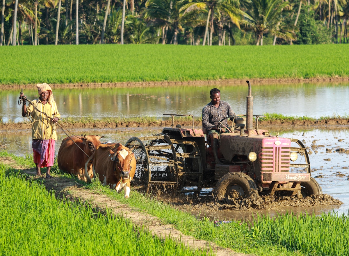
The labor shortage in agriculture is acute and worsening in many countries. An aging farming population, migration to urban areas, and the physically demanding nature of farm work have created a gap that autonomous equipment is beginning to fill.
Autonomous tractors have moved from prototypes to commercial products. John Deere launched its fully autonomous tractor for commercial use, capable of tilling fields without a human operator. The tractor uses GPS for navigation, cameras and machine learning for obstacle detection, and can be monitored and controlled remotely via smartphone.
Beyond tractors, specialized robots are emerging for tasks that are particularly labor-intensive:
- Harvesting robots use computer vision to identify ripe fruits and gentle gripping mechanisms to pick them without bruising. Strawberry and apple harvesting robots are already operating commercially in several countries.
- Weeding robots distinguish crops from weeds using cameras and AI, then eliminate weeds mechanically or with targeted micro-doses of herbicide. This can reduce herbicide use by up to 90 percent compared to broadcast spraying.
- Planting robots can precisely place seeds at optimal spacing and depth, adapting in real time to soil conditions sensed as they move through the field.
Satellite and Drone Technology
The cost of satellite imagery has plummeted in recent years, making space-based crop monitoring accessible to farmers of all sizes. Companies like Planet Labs operate constellations of small satellites that photograph the entire Earth''s agricultural land surface daily, providing time-series data that reveals how crops develop over the season.
Normalized Difference Vegetation Index (NDVI) imagery, which measures plant health based on how vegetation reflects near-infrared light, is now standard in agricultural decision-making. Farmers can see at a glance which parts of their fields are thriving and which are struggling, often before problems are visible from the ground.
Drones complement satellite data by providing much higher resolution imagery on demand. A farmer can deploy a drone to investigate an area flagged by satellite data, capturing images detailed enough to count individual plants and assess their condition. Multispectral and thermal sensors on drones add additional data layers, revealing moisture stress, chlorophyll content, and canopy temperature.
Data Analytics and Farm Management Platforms
The explosion of agricultural data has created a need for platforms that can integrate, analyze, and present information in actionable formats. Farm management software has evolved from simple record-keeping tools to sophisticated analytics platforms that incorporate weather data, market prices, equipment telemetry, soil information, and crop performance data.
These platforms enable data-driven decisions across the farming cycle:
- Planting decisions: Which crop varieties to plant where, based on soil type, historical performance, and seasonal weather forecasts.
- Input optimization: How much fertilizer, water, and crop protection to apply, based on real-time crop needs rather than calendar-based schedules.
- Harvest timing: When to harvest based on crop maturity data and weather forecasts to maximize quality and minimize losses.
- Market timing: When to sell based on price trends, storage costs, and quality degradation rates.
Challenges and Concerns
The agricultural technology revolution is not without significant challenges. The digital divide between large commercial farms and smallholder farmers remains wide. In many developing countries where food security challenges are greatest, farmers lack access to reliable internet, affordable hardware, and the technical knowledge to use advanced tools.
Data ownership and privacy are growing concerns. When sensors on a farmer''s equipment generate detailed information about soil quality, yields, and farming practices, who owns that data? Equipment manufacturers, software platform companies, and data aggregators all have potential access, raising questions about farmer sovereignty over their own operational information.
The cost of adoption can be prohibitive for small and medium-sized farms. While the return on investment is often positive over time, the upfront capital required for GPS-guided equipment, sensors, drones, and software subscriptions can be a barrier. Governments and agricultural organizations have a role to play in making these technologies accessible through subsidies, cooperative purchasing models, and training programs.
Looking Ahead
The trajectory is clear: agriculture will become increasingly data-driven, automated, and precise. The farms of 2035 will look very different from those of today, with autonomous equipment operating around the clock, AI systems making real-time management decisions, and every aspect of production monitored and optimized.
The question is not whether this transformation will happen but whether it will happen equitably. If precision agriculture remains accessible only to large, well-capitalized operations in wealthy countries, it will widen existing inequalities in global food production. If it can be made accessible and affordable to smallholder farmers worldwide, it has the potential to dramatically improve food security, reduce agriculture''s environmental footprint, and improve the livelihoods of billions of people who depend on farming.
Related Articles on BlogVerdict
- The Future of Food, Farming, and Sustainable Agriculture (Agriculture)
Summary Comparison
| Factor | Pros | Cons | Verdict |
|---|---|---|---|
| Cost | Various options | Premium can be expensive | Good value overall |
| Quality | High standard | Varies by provider | Research recommended |
| Accessibility | Widely available | Regional differences | Improving steadily |
| Support | Community + official | Response times vary | Adequate for most |
Frequently Asked Questions
What are the main factors driving this trend?
The convergence of technological innovation, shifting consumer expectations, economic pressures, and regulatory changes are all contributing to this transformation. Each factor reinforces the others, creating momentum.
How will this affect everyday people?
The effects will vary by region and demographic, but most people will experience meaningful changes in how they work, consume, and interact with technology over the next 3-5 years.


